XAG’s P100 and V50 aircraft, R150 ground vehicle and M-series sensing drones illustrate a modular approach to farm automation. The established platform family separates the machine that travels through a field from the task equipment that sprays, spreads, maps or mows.
Different airframes share a task-oriented design
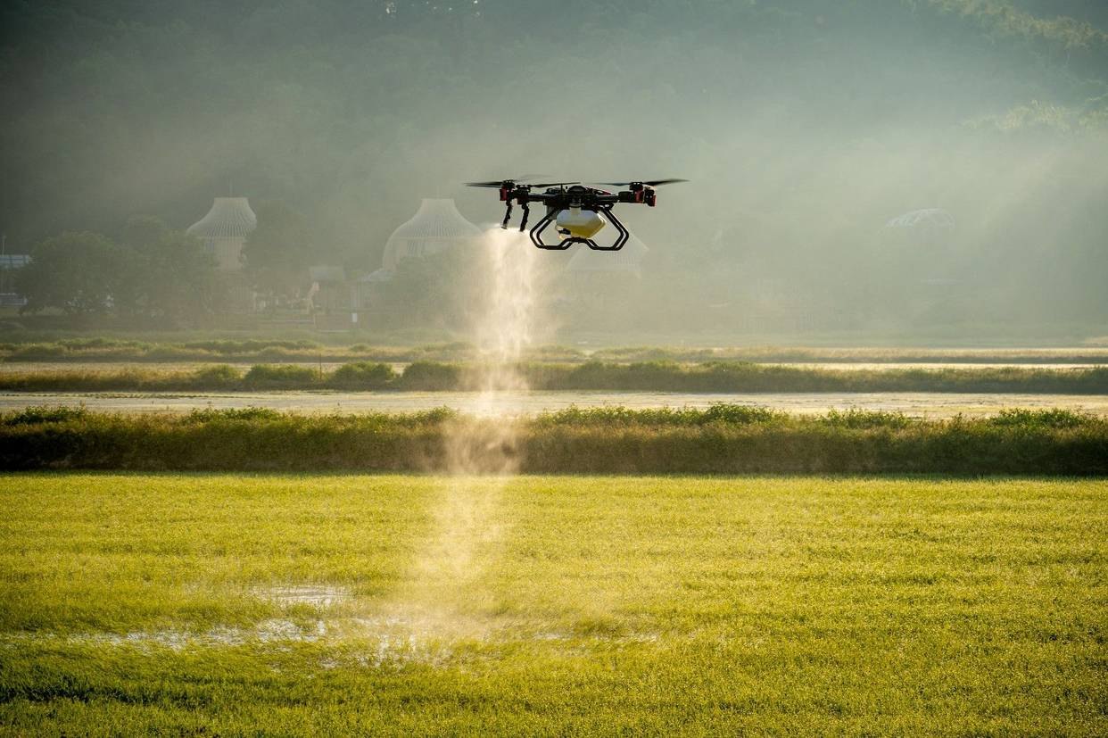
The P100 uses a quadrotor layout and has a stated effective payload of 40 kg. The V50 uses a dual tilt-wing configuration. Both designs allow the flying platform to be separated from its task system, making it possible to switch between spraying, granular spreading and survey work while simplifying handling and maintenance.
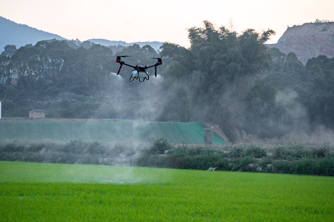
The SuperX 4 Pro control system is intended to support accurate operation where internet infrastructure is weak. That capability addresses a limitation of operations that rely heavily on network-delivered positioning corrections. The required positioning and control configuration still determines how a particular aircraft can operate at a site.
Spraying, spreading and mapping use different tools
RevoSpray 2.0 uses rotary atomisation with a stated droplet adjustment range of 40–600 micrometres. RevoCast 2.0 combines two vertical centrifugal discs with a screw feeder and has a stated urea spreading rate of up to 80 kg per minute. These are system capabilities under the described operating conditions, not a promise of the same output in every crop.
The RealTerra 2.0 mapping module is described as covering up to 13 hectares in a sortie, with real-time image stitching and a field map available after landing. Mapping provides the spatial context needed to plan subsequent applications.
A ground vehicle carries more than one implement
The R150 provides an open payload platform for spraying, fertilisation and mowing. Its RevoMower 2.0 attachment combines a dual-blade layout with 6 kW of cutting power for work in settings such as orchards and farmland. HydraulicSpray adds pumps and pressure nozzles as another task configuration.
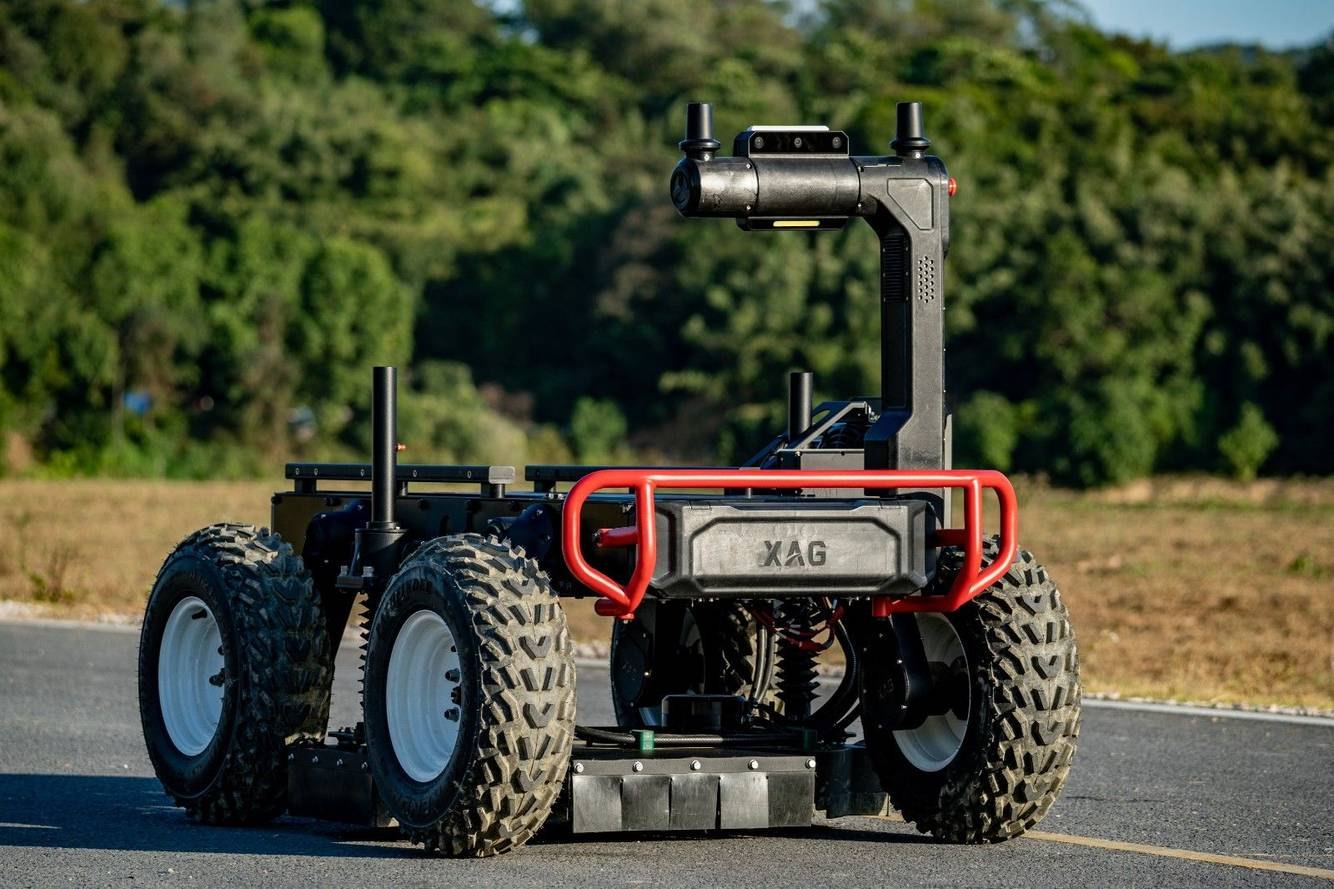
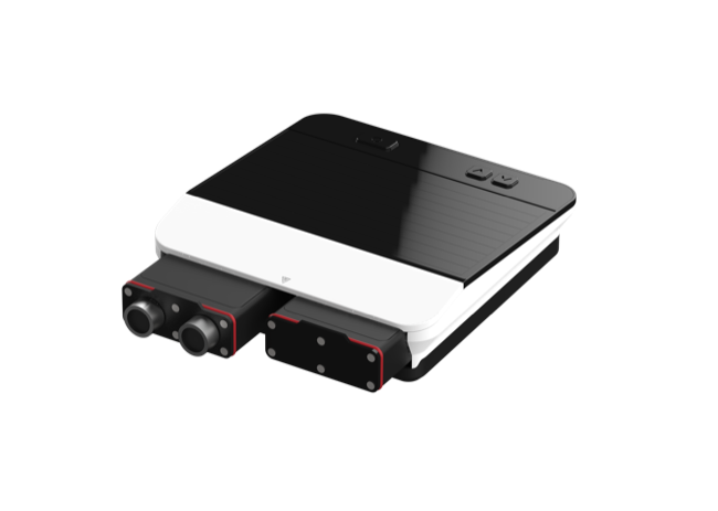
The described control package combines binocular vision and MMV 4D imaging radar to follow field features, track a route and avoid obstacles. Those functions support autonomous task execution while leaving the actual operating limits dependent on the terrain, installation and configuration.
Survey aircraft supply the information layer
The foldable M500 supports four gimbal-camera options with different imaging characteristics and wavebands. Its field images can help managers examine irrigation, germination, crop density and height, disease or pest concerns and estimated yield.
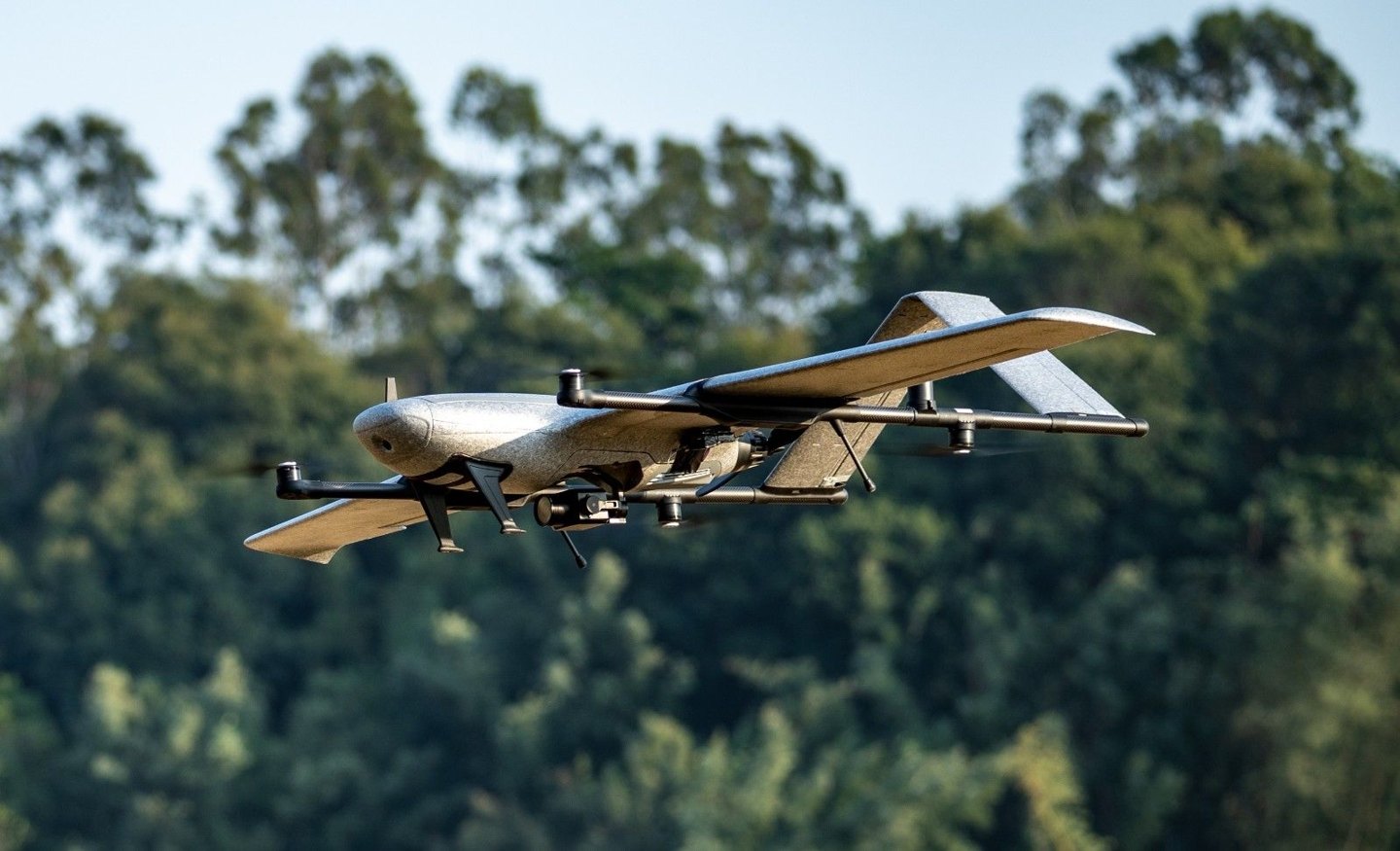
For larger survey tasks, the M2000 uses an electric vertical-take-off-and-landing fixed-wing layout. The stated maximum flight duration is 90 minutes, with a mapped area of up to 533 hectares per sortie. Those figures describe the specified platform rather than a guaranteed result for every survey plan.
Testing a coordinated farm system
XAG’s demonstration work has combined drones, robots and AI across crop operations rather than relying on a single device. In a 200-hectare cotton-farm example managed by two operators, the company described 60% lower labour costs and 36% less pesticide use than a conventional comparison.
The example points to the value of coordinating sensing with physical work, while its results remain specific to that demonstration. Matching the platform, payload and field information to a real task is the practical foundation of this type of automation.